Sabre recently acquired 80% of two companies holding extensive gold and copper-gold project areas within the East Tennant Ridge Iron-Oxide-Copper-Gold (IOCG) corridor and the North Arunta Gold Project, located in the World-Class Tennant Creek Copper-Gold Region of the Northern Territory (see project locations in major mineralised corridors, Figure 1, below).
These highly prospective projects include 4,000km2 of tenements on potential extensions of the major mineralised corridors which include the Tennant Creek Copper-Gold Field which has produced over 5.5Moz of high-grade gold (6.6g/t Au) and 700kt of copper (2% Cu) historically.
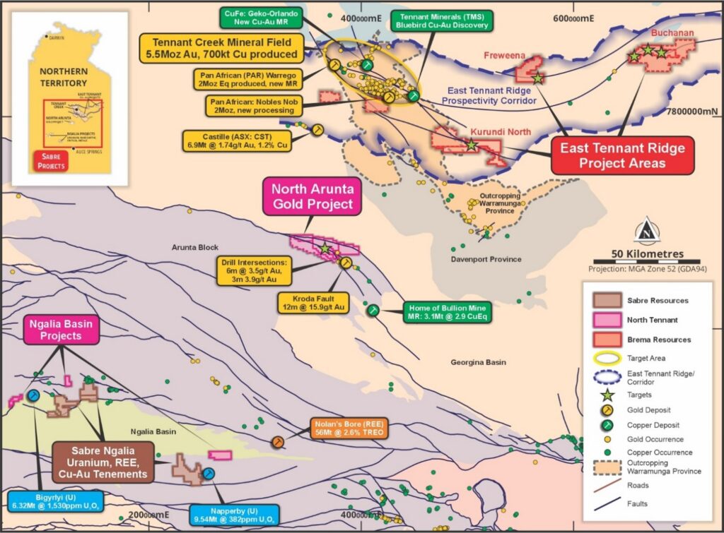
Figure 1: Location of the East Tennant Ridge (Brema) and North Arunta Project (NTM) Gold & Copper-Gold Project Areas
The East Tennant Ridge project tenements cover 2,875km² within a structural corridor which has been identified as one of Australia’s most prospective iron-oxide-copper-gold (IOCG) belts named the East Tennant Ridge (ETR).
The ETR extends under cover east and south of the world-class Tennant Creek Mineral Field (TCMF). The Proterozoic Warramunga Formation, which host the high-grade ironstone hosted gold-copper deposits of Tennant Creek, has been demonstrated by a mineral prospectivity project led by Geoscience Australia (MinexCRC Project) to continue east of Tennant Creek for over 300km strike-length beneath shallow cover (see map below, showing East Tennant Ridge on magnetics with key project areas).
The key project areas in the East Tennant Ridge: Kurundi North Copper-Gold Project , Buchanan IOCG Project and Frewena Dam Copper Project. All contain large scale gravity and magnetic anomalies showing the signature of buried iron oxide copper-gold (IOCG) and/or Tennant Creek style ironstone copper-gold systems, with no previous drill testing.
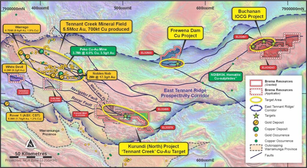
Figure 2: Regional scale Total Magnetic Intensity (TMI) image showing TCMF & the ETR high prospectivity corridor with key projects
Kurrundi North Copper-Gold Project
The Kurundi North Project lies directly along strike to the southeast of Tennant Creek, on extensions of the Navigator and Mary Lane Faults (see Figure 2). These fault zones are associated with the major deposits of Tennant Creek, including the high-grade Warrego gold-copper deposit (6.76Mt @ 6.6g/t Au, 1.9% Cu produced), Nobles Nob gold deposit (2Mt @ 17.3 g/t Au produced) and the Peko gold deposit (3.7Mt @ 3.5g/t Au, 4% Cu produced).
The Kurundi North project area was initially identified from regional scale magnetics imagery as three distinct positive magnetic anomalies within a 10km strike-length, northwest-southeast trending zone under shallow cover (see Figure 3, below).
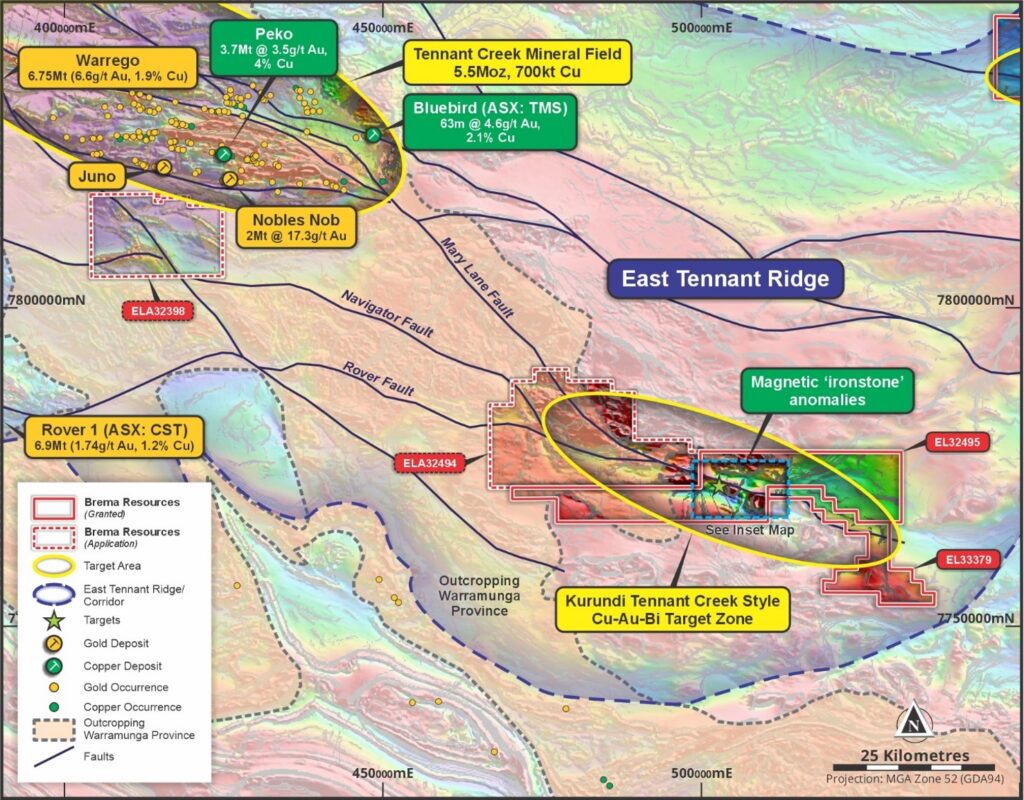
Figure 3: Kurundi North Cu-Au Project on regional magnetics, showing magnetic anomalies in 12km corridor analogous to the Tennant Creek ironstone hosted copper-gold deposits along strike to the northwest
Detailed drone magnetics and ground gravity surveys at Kurundi North defined magnetic anomalies that are broadly coincident with a gravity high or ‘ridge’. This indicates that the variable magnetic anomalies and coincident gravity (density) highs are associated with iron-enriched (ironstone) zones in buried Warramunga Formation, which are highly prospective for Tennant Creek style copper-gold deposits.
Auger soil sampling across the geophysical anomalies produced highly anomalous copper with supporting bismuth and gold, over a northwest trending interpreted altered low magnetic fault zone (see Figure 4). This geophysical and geochemical fingerprint is indicative of a Tennant Creek style ironstone-copper-gold system under shallow cover.
The Company has immediate plans to carry out traverses of aircore/RC drilling across these outstanding target zones at Kurundi North, to test under the geochemical anomalies and into the gravity-magnetic ironstone-copper-gold targets in the Warramunga Formation bedrock (see Figure 4).
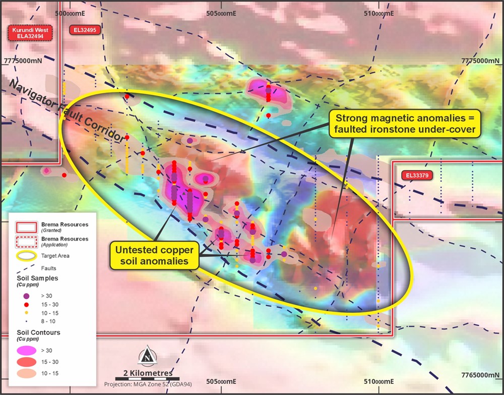
Figure 4: Kurundi TMI magnetic anomalies, fault zones and copper soil anomalies – Tennant Creek style target
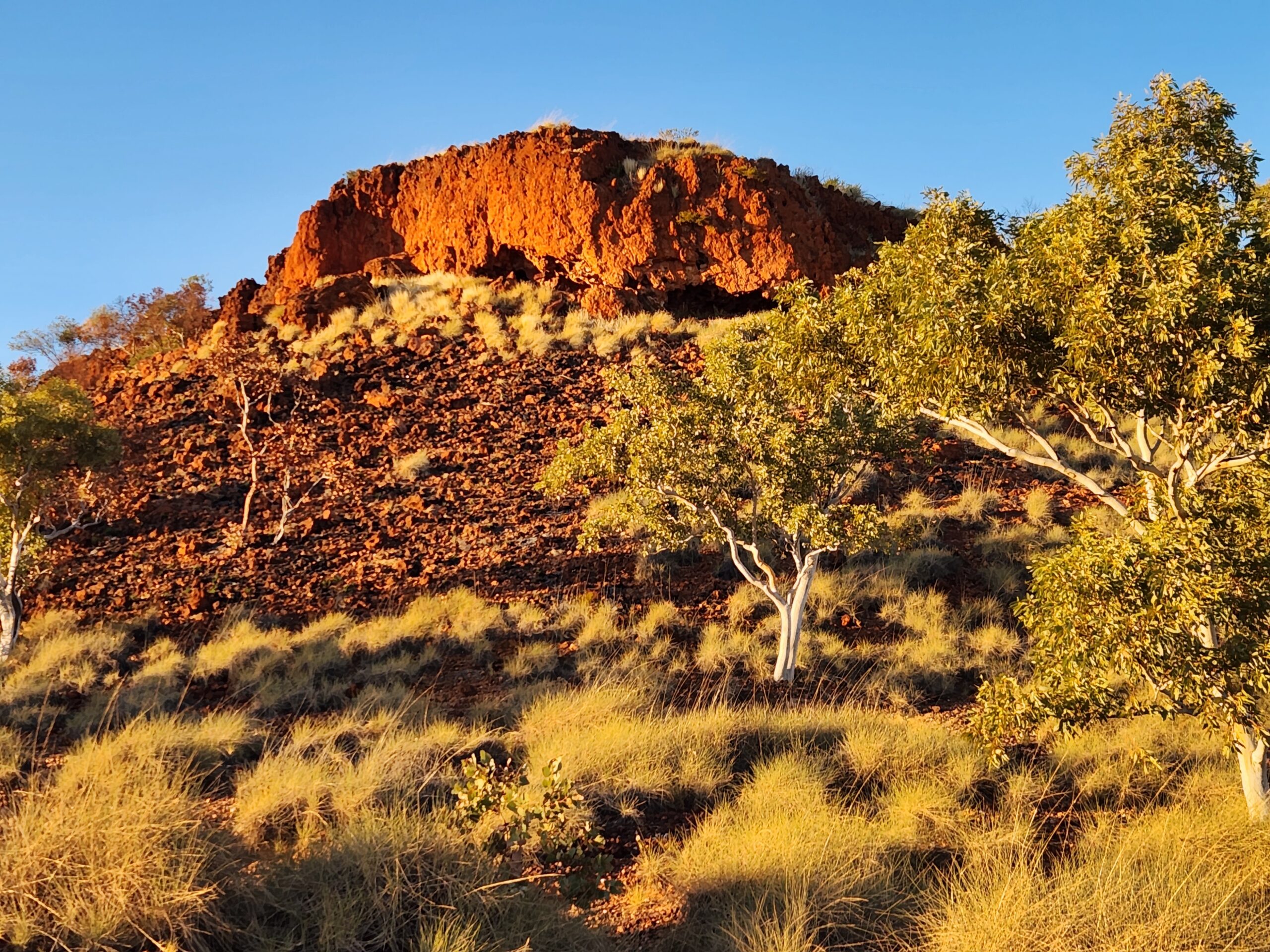
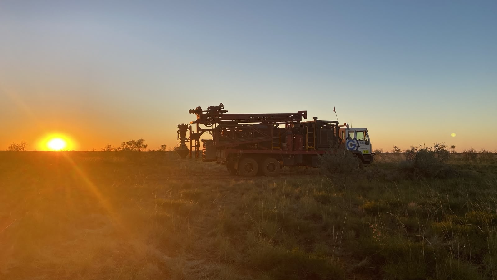
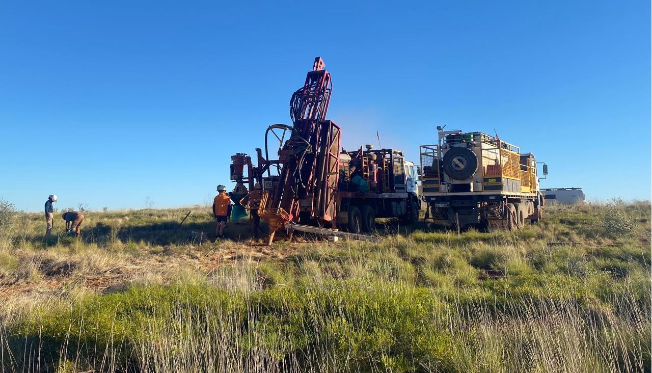
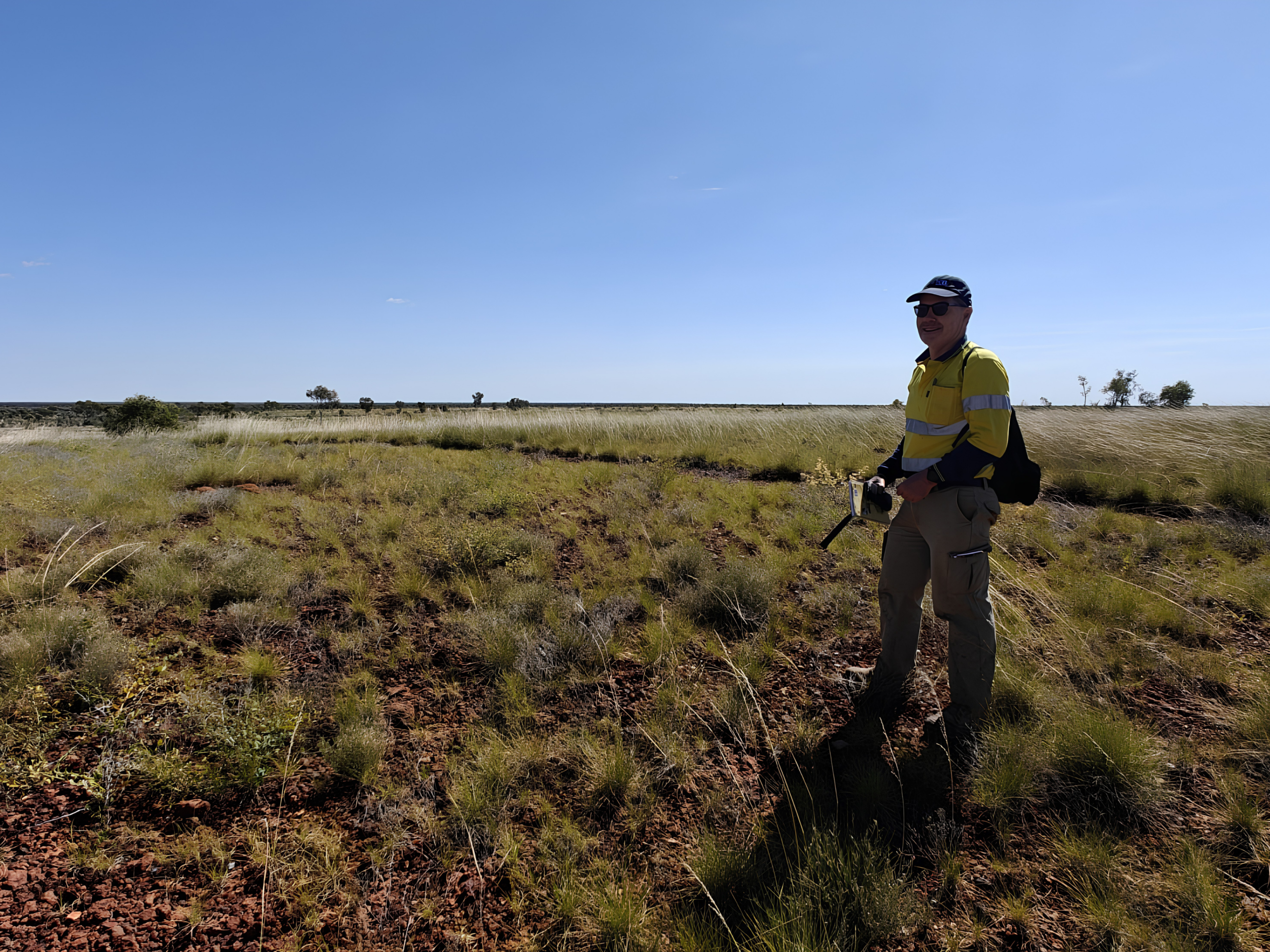
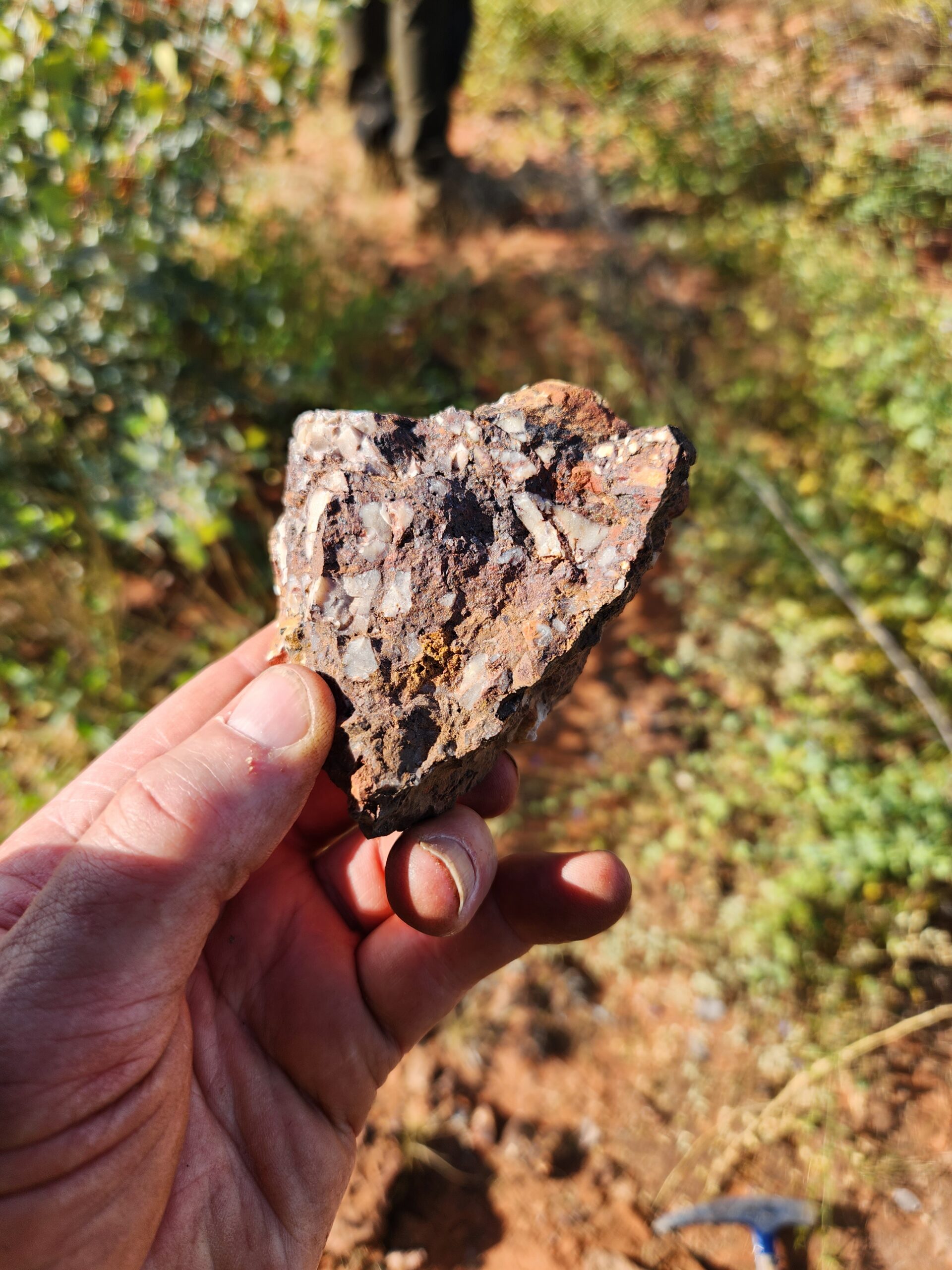
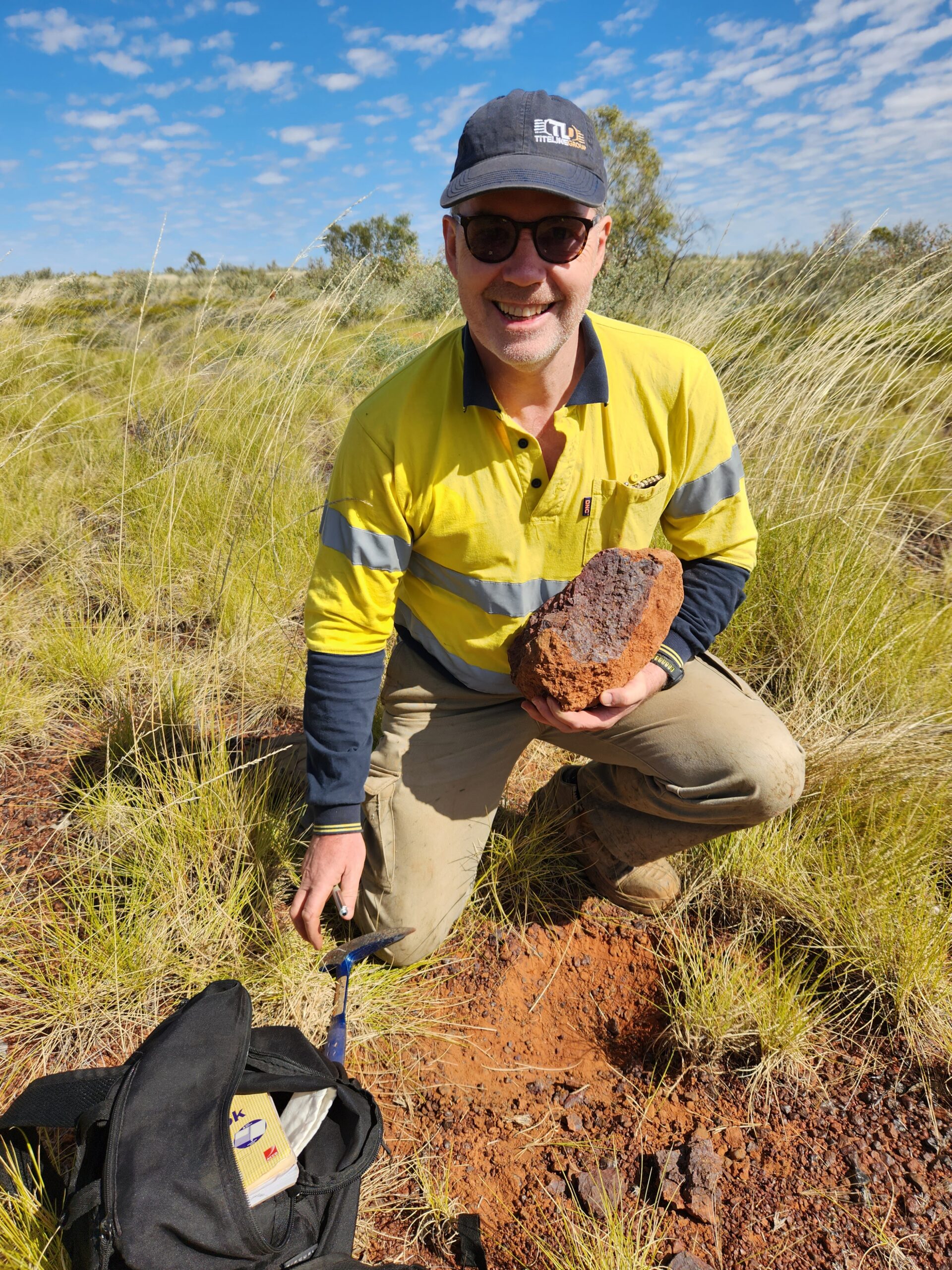
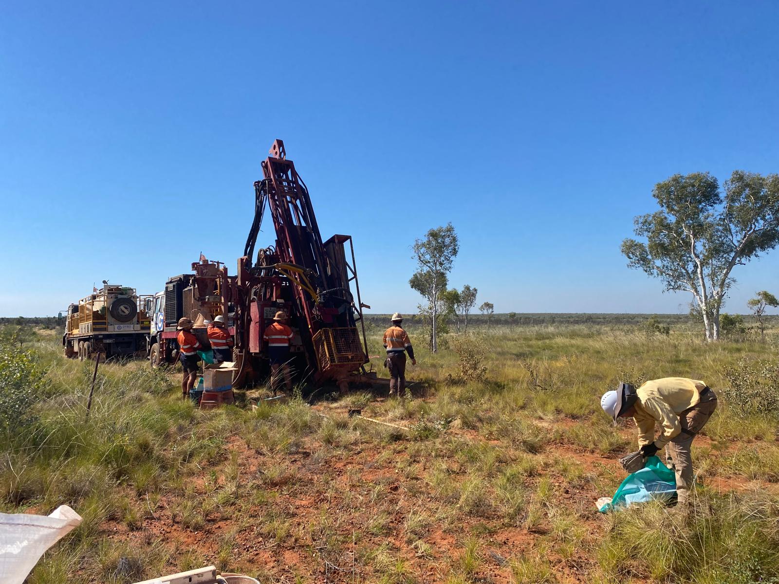
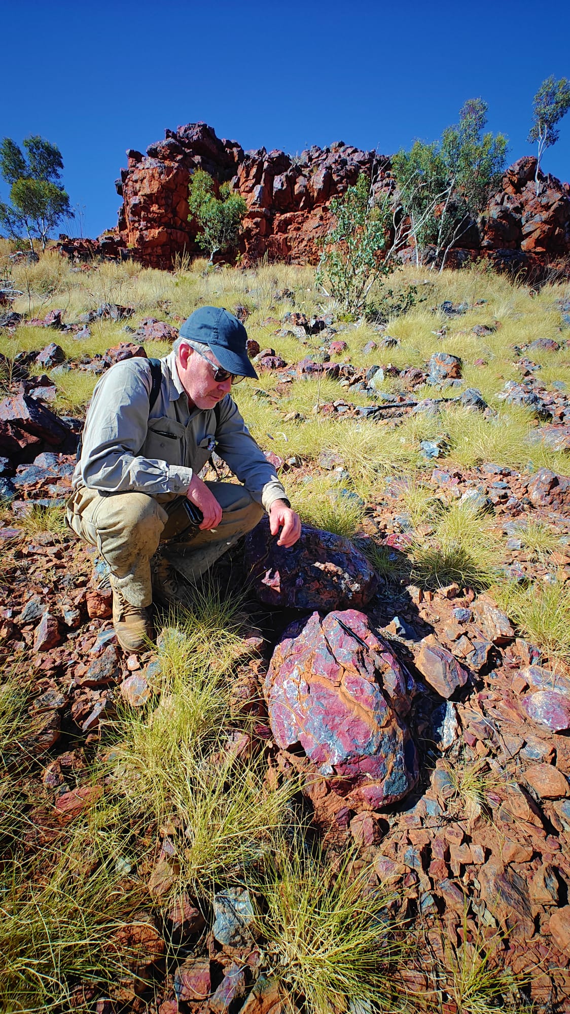
Click here to view images from Kurundi North Project Field Trip, August 2026
Buchanan IOGC Project
The Buchanan Project is located within extensions of the East Tennant Ridge, approximately 250km east of Tennant Creek. The tenements cover a large, gravity-magnetic target zone with an IOCG geophysical signature on a distinct flexure in the East Tennant Fault Corridor. The gravity-magnetic target corridor occurs along strike from MinexCRC Project diamond drilling (NDIBK04), which intersected hematite alteration and copper-sulphides (IOCG signature) in rocks equivalent Warramunga Formation (Figure 2).
Detailed gravity and drone magnetics surveys have defined a series of coincident gravity highs and magnetic anomalies within a structural “jog” zone over a 40km strike-length (see Figure 5, below). The zone represents a highly prospective target zone for a buried Tennant Creek style high-grade copper-gold deposits and/or a major IOCG system.
The detailed magnetics shows that the core of the magnetic anomalies are de-magnetised to negatively polarised, indicative of hematite alteration associated with a potential IOCG system.
The scale and fingerprint of the target zones at Buchanan are analogous to major IOCG systems in Proterozoic mineralised corridor settings in South Australia and Mt Isa region.
Modelling of IOCG signatures in magnetics indicates relatively shallow depths to the basement targets (130m below surface in an area of very deep sedimentation).
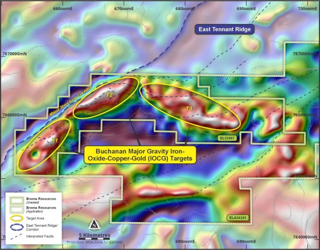
Figure 5: Buchanan Project – detailed gravity anomalies representing basement targets for IOCG deposits
Further geophysical programs will be carried out to define the buried IOCG target zones prior to drilling of up to two pre-collared diamond drillholes through the Georgina Basin sediments to test the coincident magnetic-gravity targets for a major hydrothermal IOCG mineralised system in the Proterozoic basement.
Frewena Dam Copper Project
The third project area in the East Tennant Ridge is the Frewena Dam Project, is located 130km east of Tennant Creek (see Figure 2).
Copper mineralisation has been identified at Frewena Dam, associated with malachite (copper-carbonate) coated calcrete/silcrete nodules at surface. The malachite coated nodules are derived from a calcrete layer in the Georgina Basin sediments and could represent leakage from a buried copper-gold deposit in the Proterozoic basement. Detailed gravity and magnetics will be carried out, along with auger soil sampling, to generate deeper drilling targets for buried TCMF and/or IOCG targets at Frewena Dam.
Kurundi North Project Field Trip, August 2026